Vancouver Island Traffic Webcams
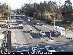
 Hwy 1, at Vowels Rd next to Nanaimo Airport, looking north. |  Hwy 1, at Vowels Rd next to Nanaimo Airport, looking south. |  Hwy 1 at South Davis Rd, south of Ladysmith, looking south. | 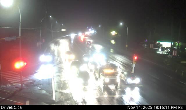 Hwy 1 at Henry Rd near Chemainus, looking south. |
 Hwy 1 in Duncan at Trunk Rd, looking north. |  Hwy 1 in Duncan at Trunk Rd, looking east. |  Hwy 1 in Duncan at Trunk Rd, looking south. |  Hwy 1 at Cowichan Bay Rd/Cobble Hill Rd |
 Hwy 1 at Shawnigan Mill Bay Rd, looking north. |  Hwy 1 at Shawnigan Mill Bay Rd, looking west. |  Hwy 1 at Shawnigan Mill Bay Rd, looking south. |  Hwy 1, approximately 3 km south of Mill Bay, looking north. |
 Hwy 1, approximately 3 km south of Mill Bay, looking south. |  Hwy 1 south of Mill Bay Rd Overpass at the Bamberton Park Entrance, looking south. | 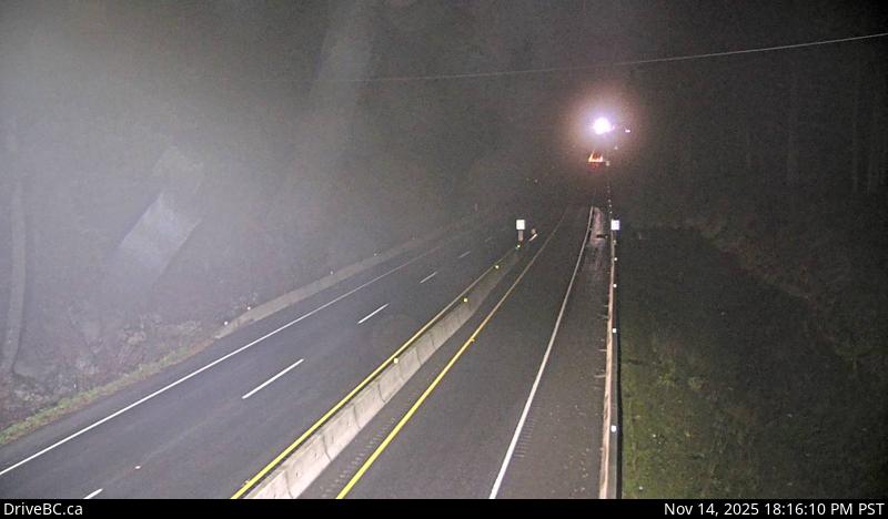 Hwy 1, about 3.7 km south of Bamberton, looking east. |  Hwy 1, about 3.7 km south of Bamberton, looking west. |
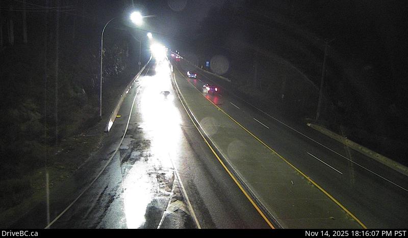 Hwy 1 at South Shawnigan Lake Road, looking north. | 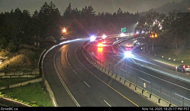 Hwy 1 at Spencer Rd, northbound looking west. | 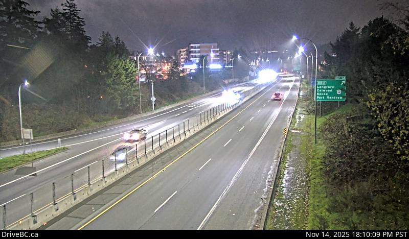 Hwy 1 at Spencer Rd, southbound looking east. |
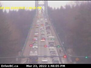
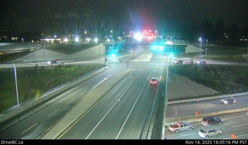
 Hwy 1, southbound, near the View Royal/Colwood exit, looking west. |  Hwy 1, northbound, near the View Royal/Colwood exit, looking east. | 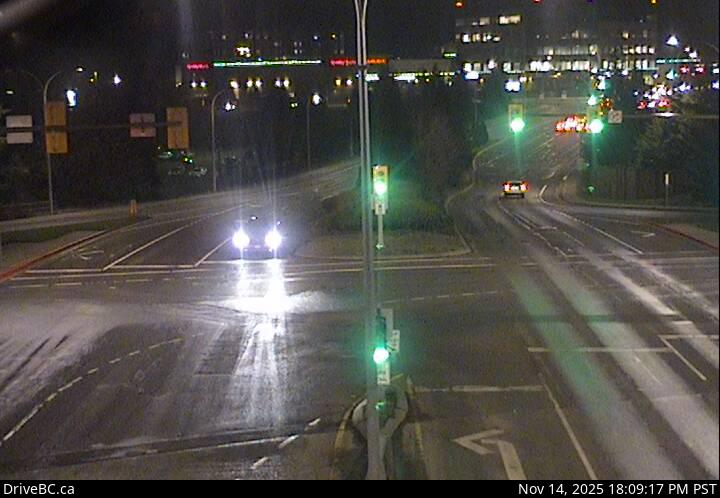 Hwy 1 at Helmcken Overpass looking north |  Hwy 1 at Helmcken Overpass, looking west. |
 Hwy 1 at Helmcken overpass, looking east. |  Hwy 1 at Helmcken overpass, looking south. |  At McKenzie St and Hwy 1. Looking north. |  At Hwy 1 and Admirals (McKenzie St). Looking west. |
 At Hwy 1 and Admirals (McKenzie St). Looking east. | 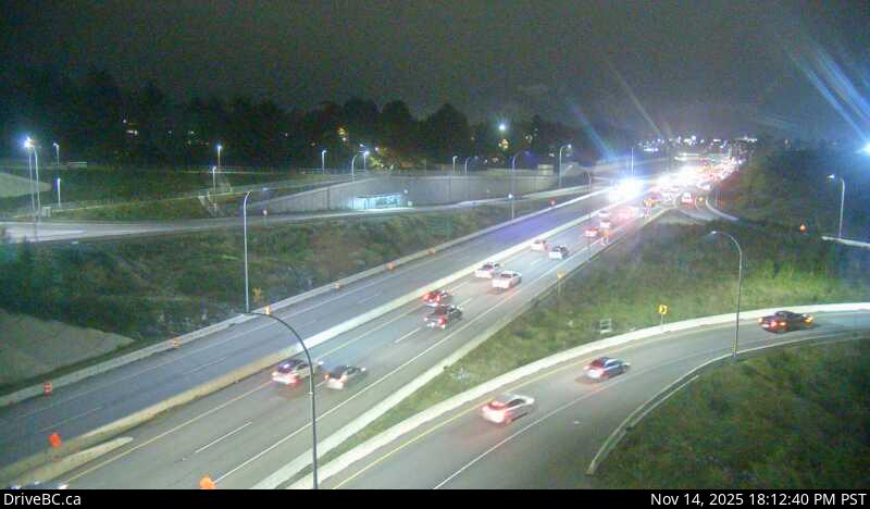 At Admirals St and Hwy 1. Looking south. |  Hwy 4 at Ucluelet-Tofino Hwy junction, looking north. |  Hwy 4, by Kennedy Lake, looking west. |
 Hwy 14 at Cormorant Way/Trailhead Dr, looking east. |  Hwy 14 at Lazzar Rd near Sooke, looking west. | ||
 Hwy 17 at McTavish Road, looking north. |  Hwy 17 at McTavish Road, looking south. |  Hwy 17 at Sayward Road, looking north. |  Patricia Bay Hwy at Sayward Rd in Saanich, looking south. |
 Hwy 17 southbound (Blanshard St) at Saanich Rd, looking north. |  Hwy 17, Blanshard St at Saanich Rd, looking west. |  Hwy 17 southbound (Blanshard St) at Saanich Rd, looking east. |  Hwy 17 southbound (Blanshard St) at Saanich Rd, looking south. |
 Hwy 17 northbound at Saanich Rd, looking north. |  Hwy 17 northbound at Saanich Rd, looking west. |  Hwy 17 northbound at Saanich Rd, looking east. |  Hwy 17 northbound at Saanich Rd, looking south. |
 Hwy 17 at Cloverdale Ave in Victoria, looking north. |  Hwy 17 at Cloverdale Ave in Victoria, looking south. |  South Shore Rd at Pacific Marine Rd, looking south. |  Hwy 18, at Skutz Falls Road, looking west. |
 Hwy 19 at Port Alice Rd Hwy 19 at Hwy 30 (Port Alice Rd) junction, between Port Hardy and Port McNeill, looking south. |  Woss Hwy 19, 75 km south east of Port McNeill and 128 km north of Campbell River, looking east. |  Tsitika Hwy 19, Tsitika, 101 km north of Campbell River and about 27 km south of Woss, looking south-east. |  Roberts Lake Hwy 19, 31 km north of Campbell River, looking north. |
 Black Creek Hwy 19 at Hamm Road, about 25 km north of Courtenay, looking north. |  Cook Creek Road Hwy 19 at Cook Creek Road, about 29 km north of Parksville, looking north. |  French Creek Bridge Hwy 19 at French Creek Bridge, south of Hwy 4 intersection, looking northwest. |  Nanaimo Parkway Hwy 19 at College Drive, looking north. |